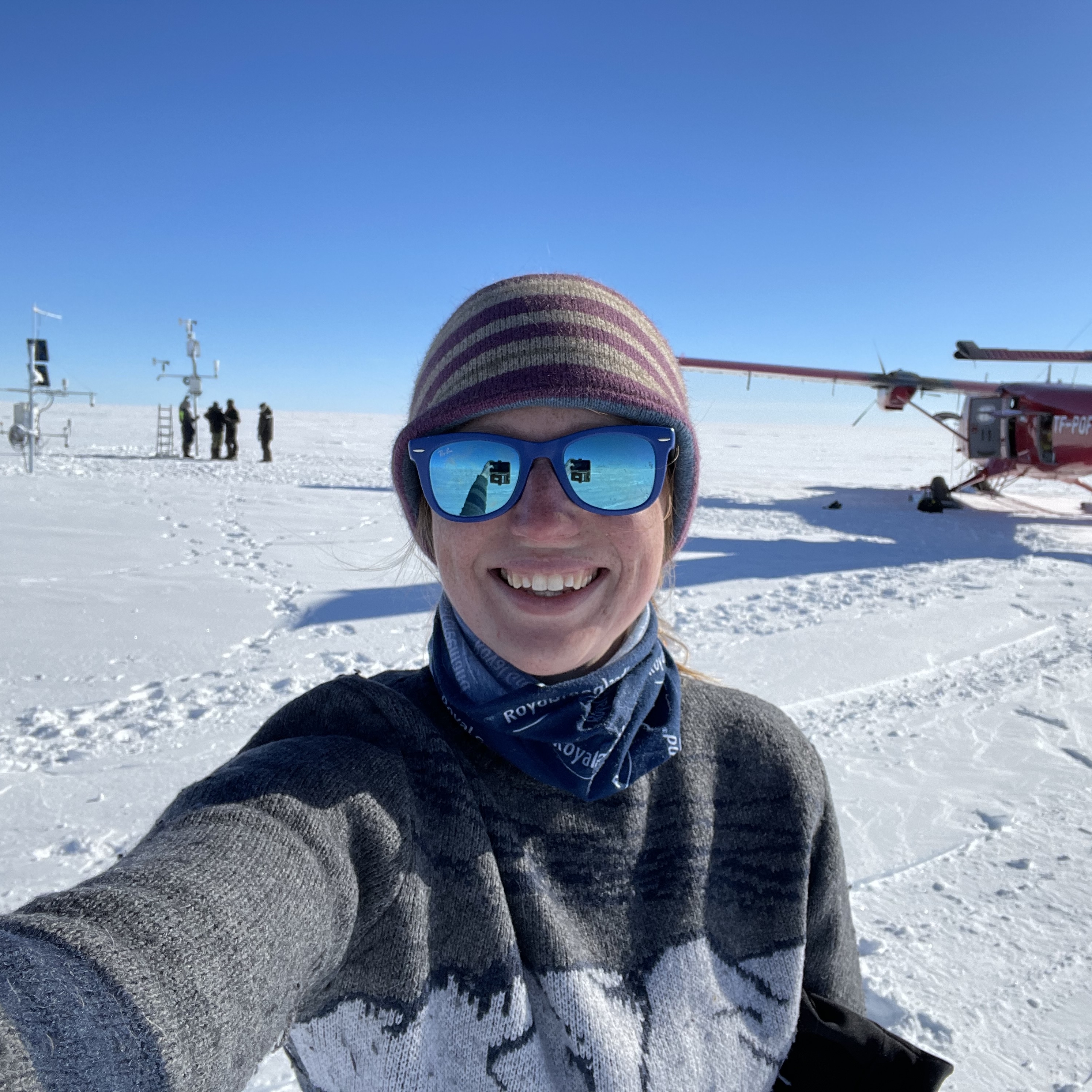
PhD Update: August 2016
The month started with troubleshooting ongoing uncertainties with projection of measurements from the two-dimensional image coordinates to real-world positions. This is a crucial step in photogrammetry for gaining measurements from images.
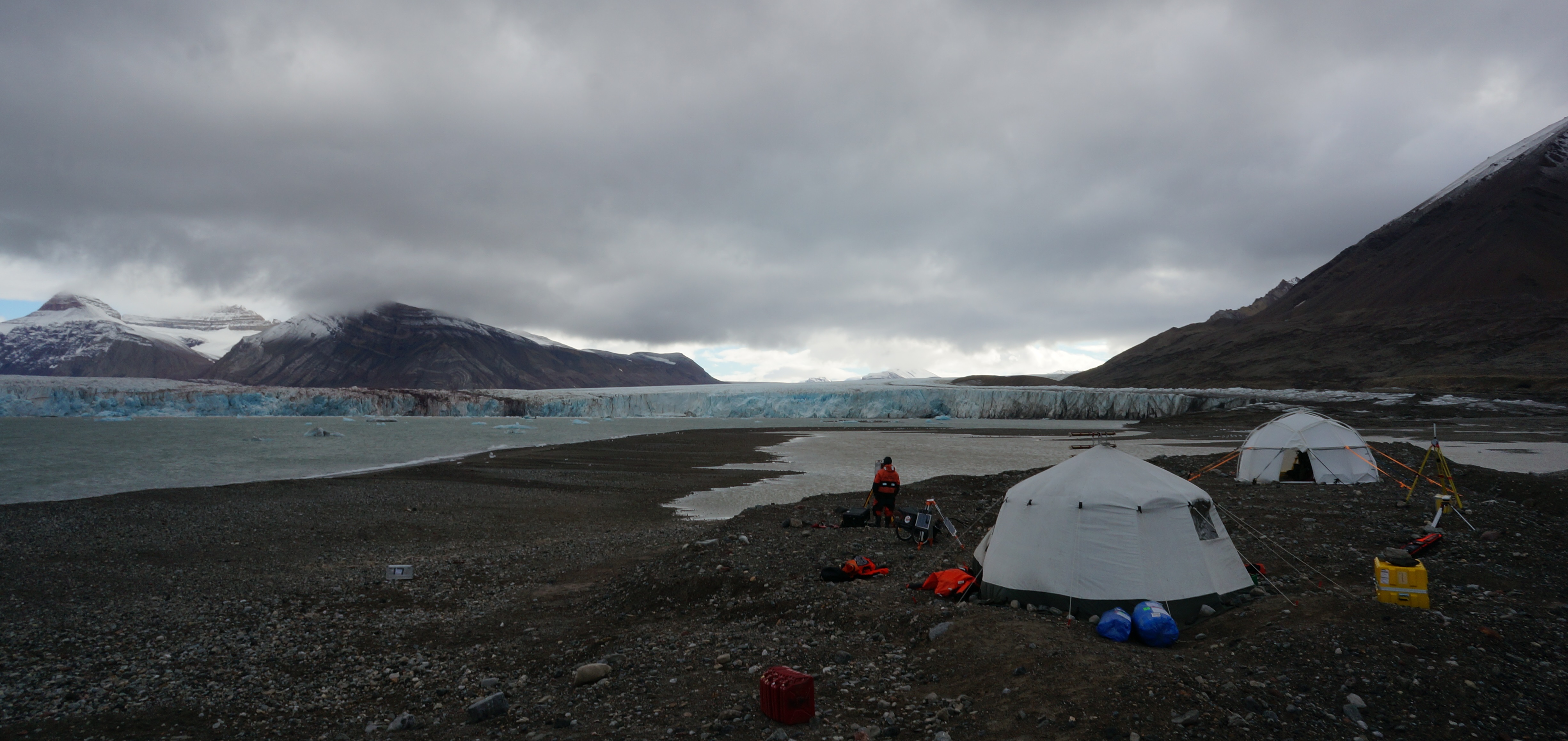
The CalvingSEIS group camp set-up besides Kronebreen glacier. The two tents contain valuable equipment - mainly the radar systems and the lidar system which were being used to scan the calving front of the glacier (August 2016)
Our software (called PyTrx) is currently projecting points slightly off from their actual position. We have been looking at determining the position of the glacier front and comparing this to LandSat satellite imagery to better understand why this offset is occurring. Knowing the terminus position through time at high-frequency intervals is also useful in determining where calving rates are highest in relation to the upglacier surface velocities.
The second half of August saw us begin the transition from time-lapse photography to videography, with our first attempt to capture calving activity at Kronebreen glacier (Svalbard) using video cameras as part of the CalvingSEIS project. The main aim of CalvingSEIS is to better understand calving activity at ocean-terminating glacier fronts using a variety of high-precision, high-frequency techniques – seismic detection, radar scanning, lidar scanning, submarine acoustic monitoring and echo-sounding, and time-lapse photogrammetry/videography. The fieldwork involved setting a base camp on the shore next to Kronebreen and having all instruments running simultaneously each day to capture calving activity. It was very intense but I am so pleased to have been a part of it and working with such a great group of people. I hope to do a separate post fully outlining the aims, the fieldwork and the outcomes of the CalvingSEIS project.
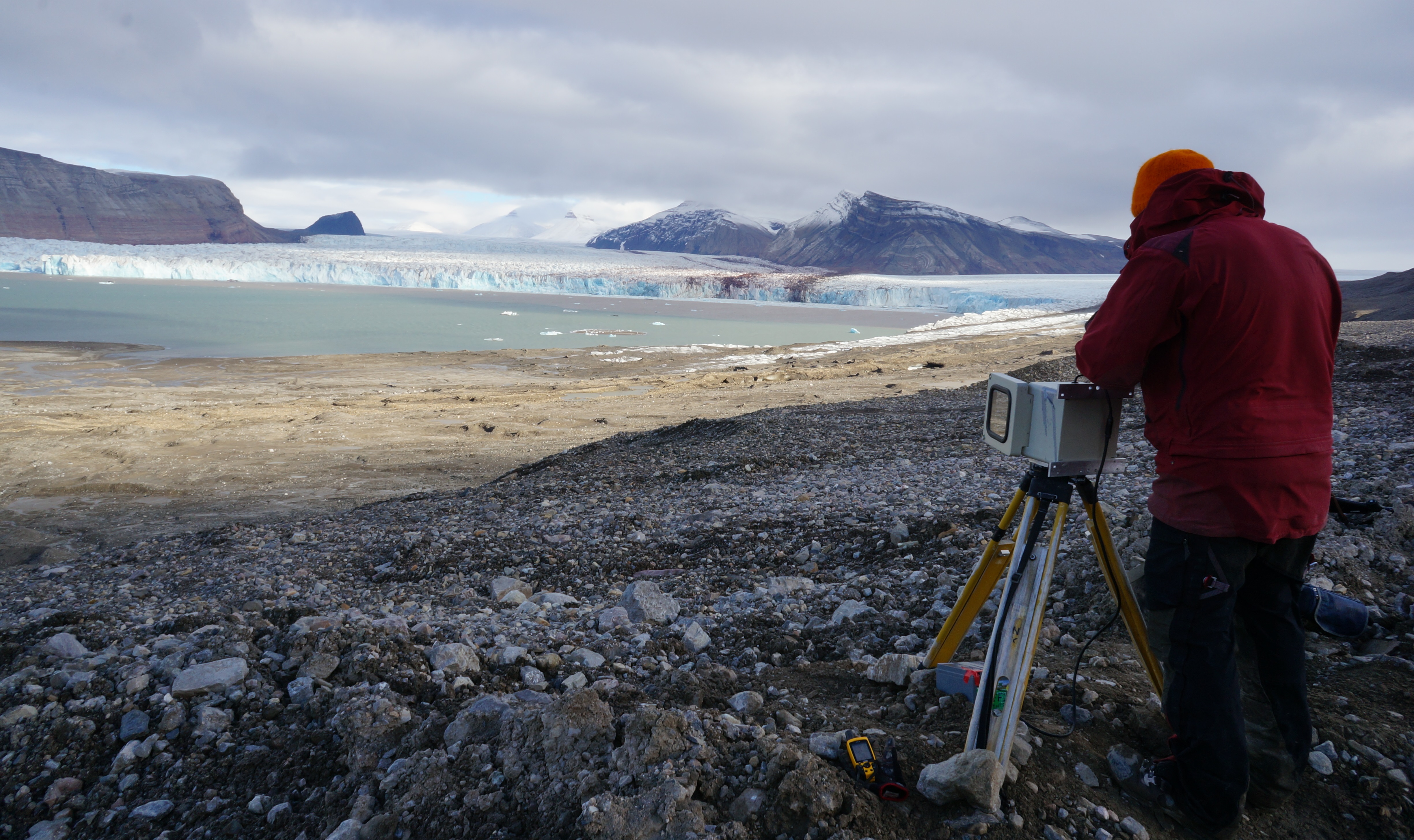
PiM (Pierre-Marie Lefeuvre, UiO) and I setting up one of the time-lapse cameras high up on the moraine to capture calving events at Kronebreen glacier. These cameras were capturing images every three seconds (August 2016)
Next month I have to go back to Svalbard yet again to download data from our cameras which have been monitoring glaciers in the Kongsfjorden area since May 2016. I feel like the fieldwork is never going to end… and I really hope it doesn’t!